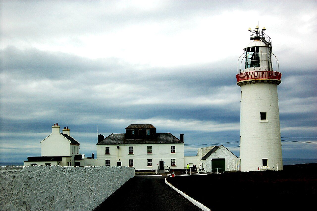
The village at the crossroads
Cross is the last village of any size on the main road out to Loop Head, about 16 km west of Kilkee on the R487. It is small: a church, a scattering of houses, a school, and the crossroads that gives the village its name, where roads run north to the Atlantic shore and south to the estuary.
The old civil parish here is Kilballyowen, and the name still turns up on maps and signs around the west end. Like many Clare parish names, it begins with Kil, from the Irish word for a church, and carries the memory of an early Christian site somewhere in the district.
For riders, Cross is a natural pause on the way out to the lighthouse, and the starting point for a slow loop around the west end of the peninsula. There is little to buy here and few places to shelter, so it is worth stocking up in Kilkee before you set out and treating Cross as a place to pause rather than to shop.
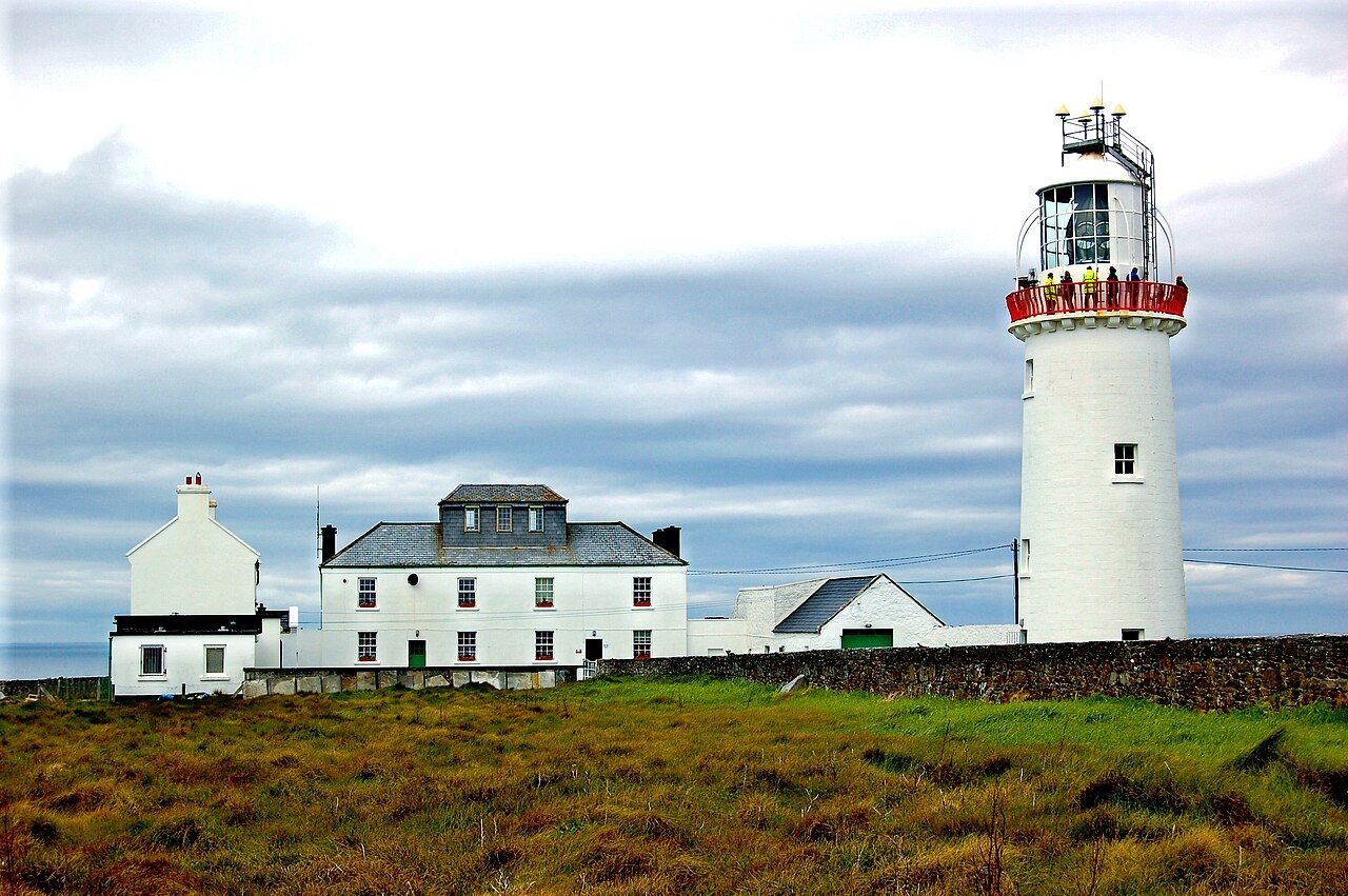
Small fields, big sky
West of Cross the peninsula narrows to a few kilometres across. The land is low and open, with small fields divided by stone walls and earth banks, scattered farmhouses and very few trees. From almost anywhere you can see water: the Atlantic on one side and the Shannon on the other.
It is farming country, and it is lived in. Cattle and sheep graze the fields, tractors use the roads, and the houses are homes rather than holiday lets for most of the year. In spring and summer the verges fill with flowers and the air with skylarks. In winter the wind rules, and you understand why the houses sit low and face away from the west.
The roads reflect this. They are narrow, often bounded by stone walls rather than hedges, and they follow the old field pattern with sudden bends and short dips. Gates open straight onto the road, and cattle are sometimes moved along it, so take the corners gently and listen for what is coming.
Holy wells
The west end of the peninsula, like much of rural Ireland, has holy wells: springs associated with a saint, where people came to pray, leave small offerings and, on certain days, walk around the well in a set pattern. Some are marked on the older maps and are now overgrown and forgotten. Others are still tended, with a small enclosure, a statue or a few rosary beads left on the stones.
Saint Senan, whose monastery stood on Scattery Island further up the estuary, is remembered in place names and wells along this coast. If you come across a holy well, treat it as you would a church. Look, by all means, but leave things as they are and take nothing away.
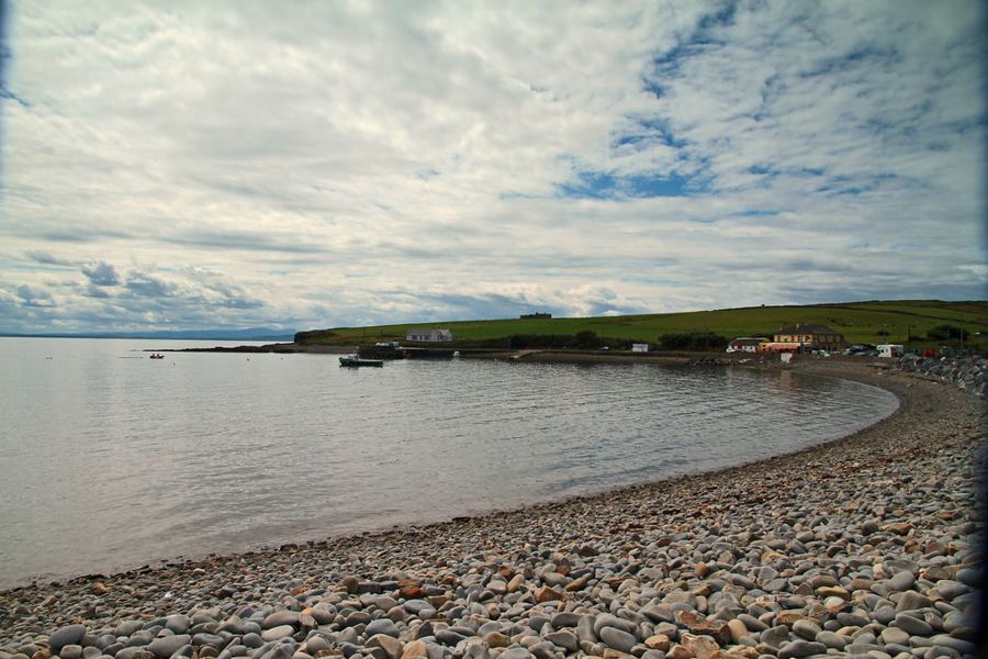 Next stretch of coastKilbaha and the Little Ark
Many wells sit on private farmland or at the end of field paths. Ask before you cross land, close gates behind you, and keep to the edges of fields.
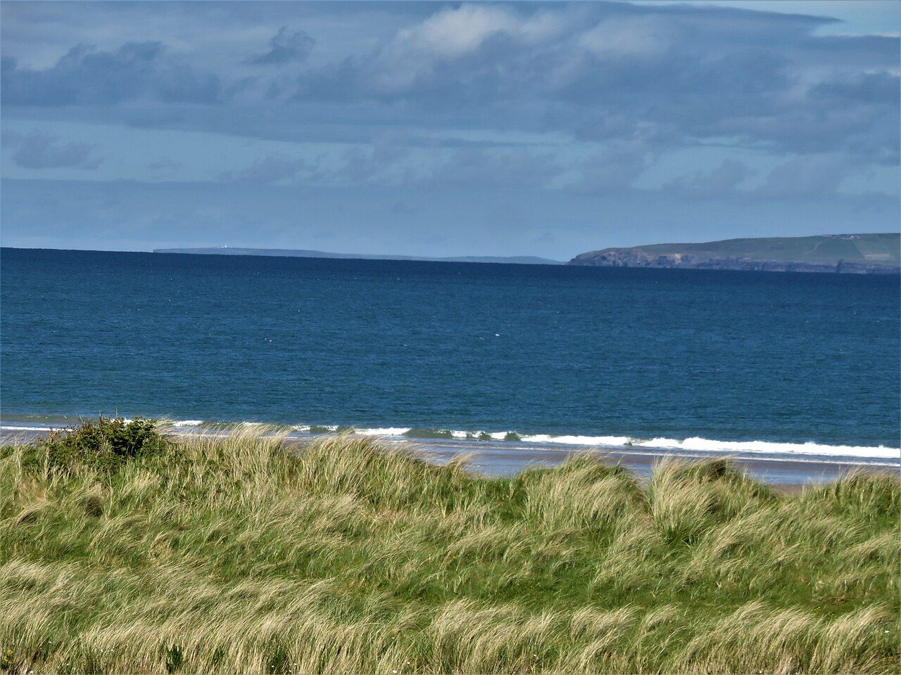
The little strands
The west end has no big sandy beaches like Kilkee, but it has small strands and coves that are worth a stop. On the estuary side, the bay at Kilbaha has a small shore by the harbour, sheltered from the west. Elsewhere along this end of the estuary, small coves and strips of sand appear at low tide, with rock pools full of anemones, crabs and small fish on a calm day.
On the Atlantic side the shore is mostly rock, broken by inlets and the arch at the Bridges of Ross. These are places to watch the sea rather than swim in it. Even on a calm day, swell rises up the rocks without warning.
If you do swim, choose a sheltered spot on the estuary side, go at a time of tide you have checked, never swim alone, and stay close to shore.
A slow half-day loop
From Cross, take the road north towards the Atlantic shore and turn west for Ross and the Bridges of Ross. Continue west to rejoin the main road near the tip, and ride out to Loop Head. Come back along the estuary side through Kilbaha and Moneen, then turn north back to Cross. The loop is about 25 km and fits easily into a morning or an afternoon.
- Ride the Atlantic side first if the wind is from the west or north-west.
- Carry food and water; places to buy food at this end are few and seasonal.
- Allow time for walking at the arch, the lighthouse and the shore.
- Bring a light for late evenings in spring and autumn.
The roads are narrow and quiet for most of the year, and busier in July and August. Ride single file where the road is tight and pull in for tractors.
Calm seas and September light
Late spring and early summer bring wildflowers, long days and the best chance of a calm sea. September is often settled, with quiet roads and good light. The west end is at its wildest in winter, and the riding then is for those who enjoy a fight with the wind.
Whenever you come, take your time. The west end rewards slowness: a pause at a gate, a look at a well, a few minutes on a strand with the whole Atlantic in front of you. By the time you roll back into Cross you will have crossed the peninsula twice and seen both of its seas, and the busy world will feel a long way off.
Pictures here: brianfagan, cc-by