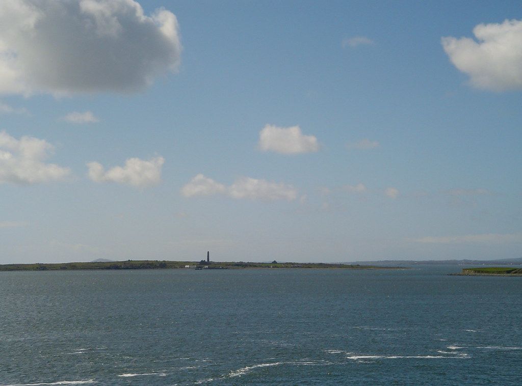
An island in the estuary
Scattery Island lies in the Shannon estuary a short distance off Kilrush, low and green, with a tall round tower standing up from its middle like a pencil. From the shore at Kilrush it looks close enough to swim to. It is not, and the water between is busy with tides and currents, but the boat trip across is short.
The island is small enough to walk around in an afternoon. There are no cars, no shops and no permanent residents now. What there is, in a small space, is one of the most important early Christian sites in the west of Ireland: a round tower, the ruins of several churches, a holy well, the remains of a battery and a lighthouse, and the empty houses of a village that was lived in until the late twentieth century.
Its Irish name is Inis Cathaigh. For riders, it is the perfect rest day from the bike, and a short ride from Kilkee or the town of Kilrush.
Saint Senan and the monster
The monastery on Scattery was founded by Saint Senan in the sixth century. Senan is one of the great saints of this coast, remembered in churches, wells and place names on both sides of the estuary.
Legend says that the island was home to a monster, the Cathach, which terrorised the area until Senan arrived and banished it. Another story says that he would allow no woman on the island, and the tale of his refusal of a holy woman who came to visit is still told. These are legends, and they are best enjoyed as such, but they show how strongly Senan's name has held to this place.
The monastery grew into a major church centre. Its position in the estuary made it a stopping place for travellers by water, but also a target. Vikings raided it in the ninth and tenth centuries and for a time used the island as a base, before Irish kings drove them out. The monastery survived into the Middle Ages, and the island remained a place of pilgrimage long after.
The round tower is the first thing you see, and up close it is even more impressive.
The round tower and the churches
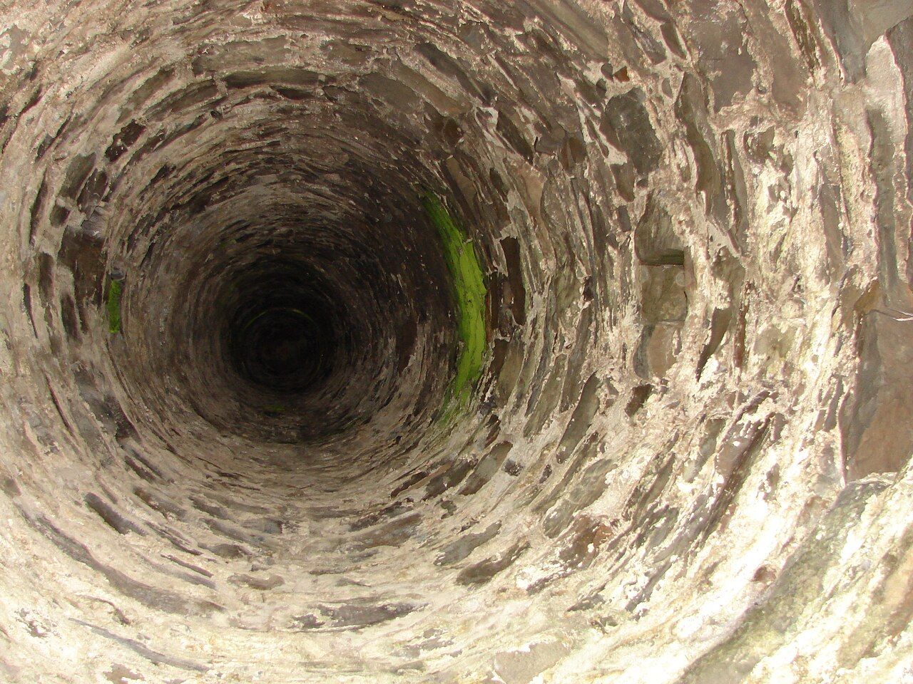
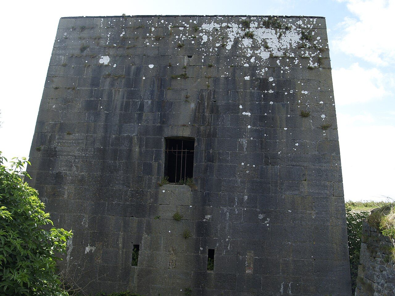
The round tower is the first thing you see, and up close it is even more impressive. It is one of the taller round towers in Ireland, and unusually its doorway is at ground level, where most towers have their door well above the ground for safety. Like other towers, it was probably a bell tower, a landmark and a safe store for the monastery's treasures.
Around it stand the ruins of several churches. The largest, often called the cathedral, has a plain, strong look with thick walls and small windows. Smaller churches and oratories are scattered nearby, some linked to Senan himself, and there is a holy well that is still visited. The graveyard around the churches has been used for burials for centuries, and island families and people from the mainland are buried there still.
 Next stretch of coastKilbaha and the Little Ark
Walk among the stones quietly. This is still a sacred place to many, and the graves are real ones. Keep off the walls, which are old and fragile.
The village, the battery and the lighthouse
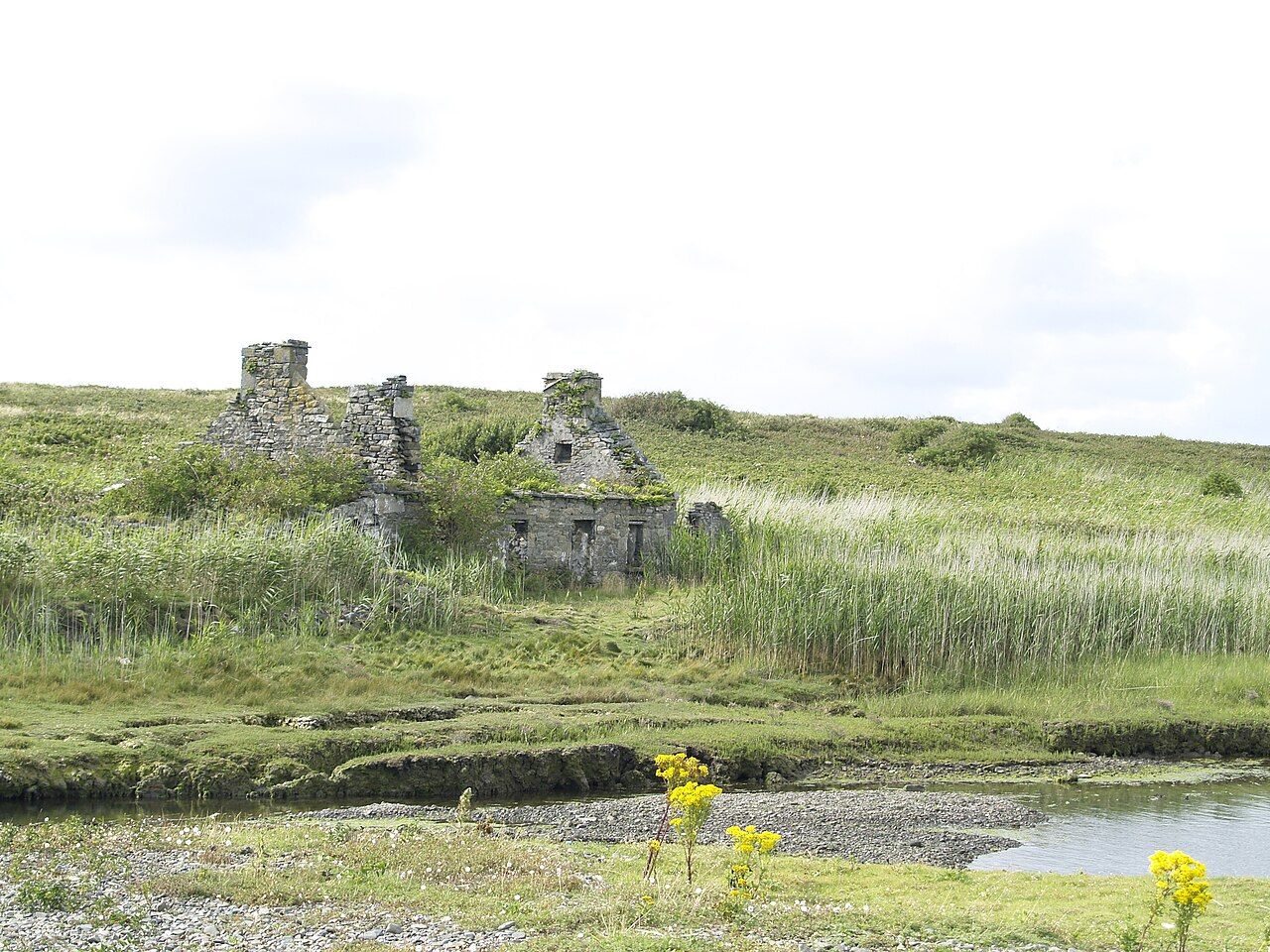
Near the landing place are the houses of the island village. For generations a small community lived here, fishing, farming and working as pilots, guiding ships up the Shannon. The last families left in the late twentieth century, and the houses stand empty, some roofless, some repaired as part of the care of the island.
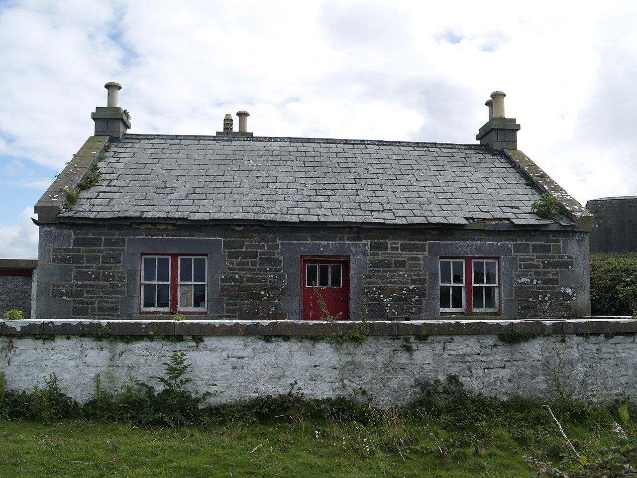
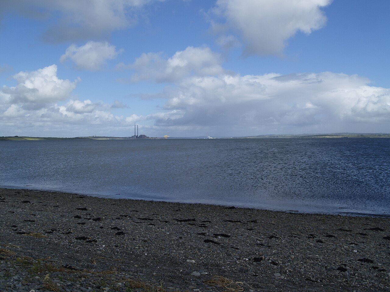
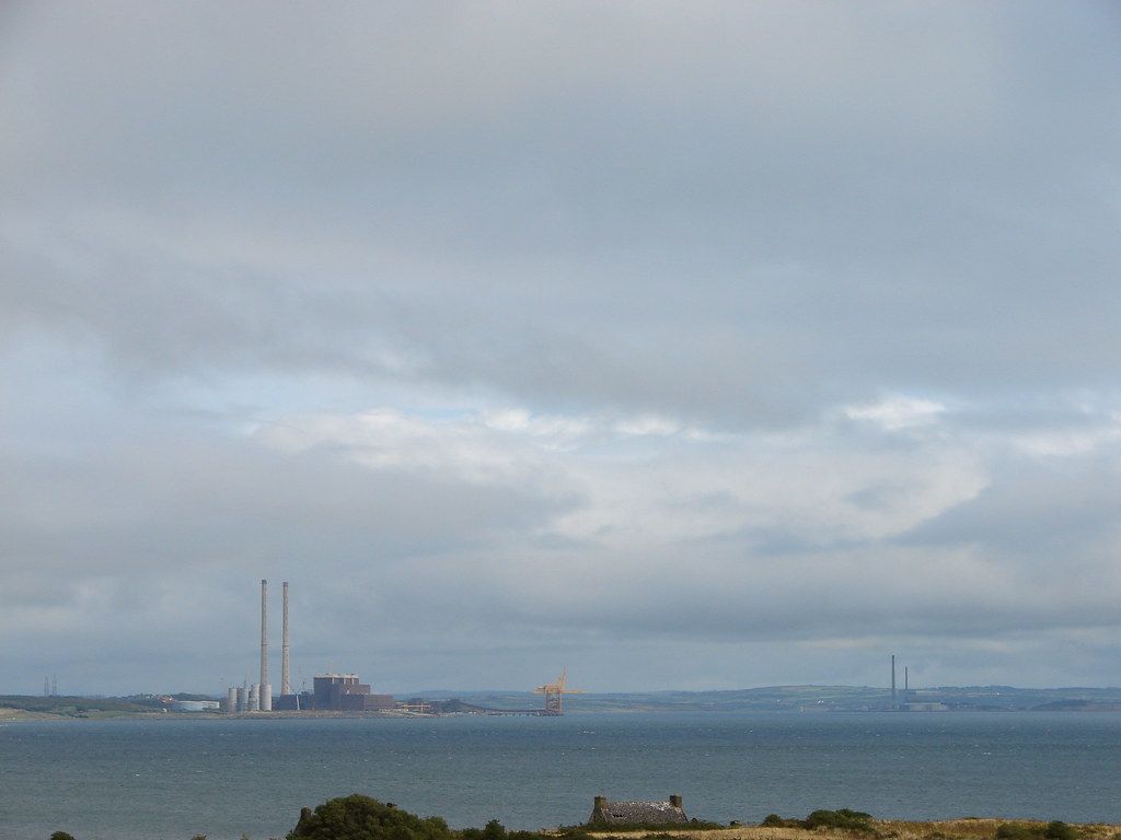
At the southern end of the island is a lighthouse, built in the nineteenth century to mark the channel. Nearby is a gun battery from the early nineteenth century, built against a feared French invasion during the Napoleonic wars. From the battery the view runs across the estuary to the Kerry shore, the power station at Moneypoint and the town of Tarbert.
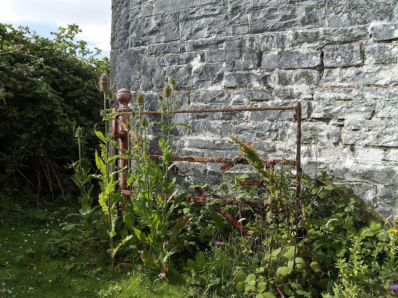
The rest of the island is grassland, shore and low cliffs, a good place for birds and wildflowers. Keep an eye on the water: the Shannon dolphins are sometimes seen in the estuary around the island.
Give yourself time simply to sit. With the round tower behind you, the wide estuary in front and nothing but birds and water to listen to, it is easy to understand why a saint chose this place, and why people kept coming back to it for so long.
Getting across
Boats to Scattery leave from Kilrush marina in season, usually from late spring to early autumn. The trip across takes a short time, but sailings depend on weather and tide, and they can change or be cancelled at short notice.
The heritage site on the island is managed for conservation, and guided tours are sometimes available in summer. Look up how things stand that season before you set off.
- Leave the bike in Kilrush, locked securely.
- Wear sturdy shoes for wet grass, stony paths and the landing.
- Bring food, water and a waterproof; there are no facilities on the island.
- Know the time of the last boat back, and keep it in mind as you walk.
Most people find that two or three hours on the island is enough to see the tower, the churches, the village and the battery without hurrying. Paths are mostly grass and can be wet underfoot, so allow a little longer if the ground is soft.
Riding to Kilrush
Kilrush is about 13 km from Kilkee on the N67, a rolling ride that is busier with traffic than the peninsula lanes. From Carrigaholt the coast road along the estuary is quieter, at about 18 km. From Kerry, the car ferry from Tarbert to Killimer lands you about 8 km east of Kilrush.
A day built around Scattery might be a gentle ride to Kilrush in the morning, the boat across, a few hours on the island and an easy ride back in the evening. Of all the places on the estuary, this is the one where you trade the bike for a boat and stillness.
If the weather turns and the boat does not sail, the island is still worth seeing from the shore. Walk along the water at Kilrush and you can pick out the round tower across the channel, and plan to come back on a calmer day.
Pictures here: brianfagan, cc-by