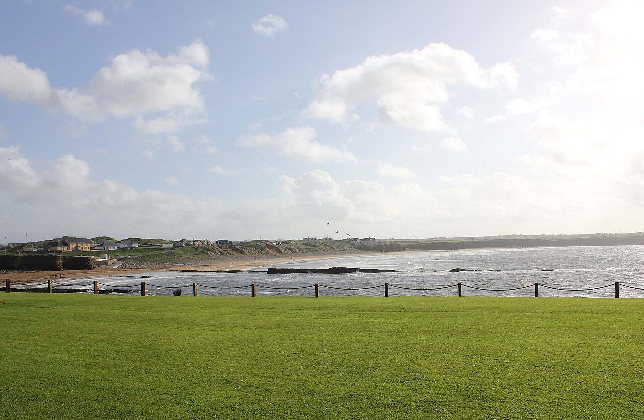
Spanish Point is a wide bay of sand and reef a few minutes' ride west of Miltown Malbay. Low grassy cliffs and a line of houses look out over it, and on most days the Atlantic rolls in, in long lines, across the reef and onto the beach. It is one of the easiest places on this coast to reach by bike, and one of the most open.
The beach and the reef
At low tide the beach is broad and firm, good for walking, and the reef shows as dark flat rock running out into the surf. At high tide the sand shrinks and the waves come close to the grass. The bay is open to the west, so even a modest swell out at sea arrives here with some weight behind it.
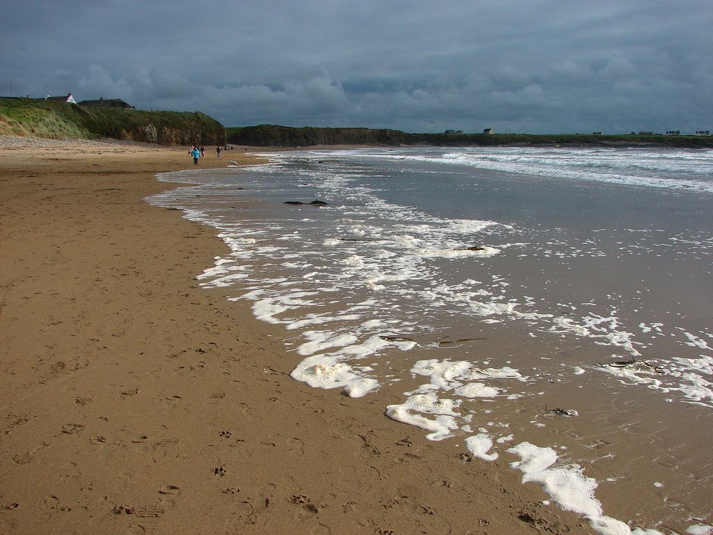
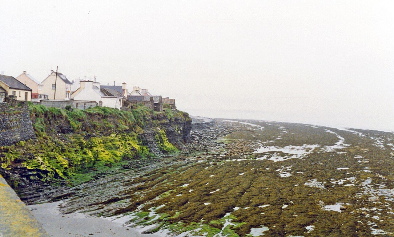
Walk north and south and the shore changes: sand gives way to rock shelves, cobbles and small coves. Along the low cliffs to the south the houses come right to the edge, and the rock below is layered and slippery.
The Armada story, told plainly
In September 1588 the ships of the Spanish Armada, defeated in the English Channel, tried to sail home around Scotland and the west of Ireland. Autumn gales caught them off this coast, and several were wrecked on the Clare shore.
The name Spanish Point comes from those wrecks. Local tradition says that drowned sailors were buried near here, and that men who struggled ashore were killed rather than helped, on the orders of those who held the land for the English Crown. The details vary with the teller, and some of the story is hard to pin down from the record. What is not in doubt is the scale of the loss along the west coast of Ireland that autumn.
There is little on the ground to see from 1588. The memorial is the name itself, and the sea. Stand on the beach on a wild day, look at the reef and the white water, and the story needs no telling.
Surf and swimming
Spanish Point is known for its surf. The reef and beach break pick up swell from the west, and on good days you will see surfers in the water. Lessons are offered locally in summer; if you want to try, go with a qualified instructor.
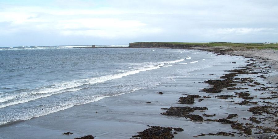 Next stretch of coastQuilty, the seaweed shore and the island offshore
For swimming, the beach is lifeguarded in the summer season on set days and hours. Swim only between the flags when lifeguards are on duty.
Rip currents in general
On any beach with surf and a reef, water that is pushed onto the shore has to find its way back out, and it does so in channels called rip currents. They can carry a swimmer out quickly, even in water that looks calm.
- Look for a gap in the breaking waves, darker water, or a line of foam or weed moving out to sea.
- If you are caught, do not swim straight against it. Float, stay calm, and swim parallel to the shore until you are out of it, then swim in.
- Raise an arm and shout for help if you need it. In an emergency on the coast, call 112 or 999 and ask for the Coast Guard.
The water is cold for most of the year. Even in late summer it stays cool, and cold shock is a real risk if you dive straight in.
Watching the sea
If you are not getting in, Spanish Point is a fine place to sit. The views run north towards Lahinch and the hills beyond, and south to the low line of the coast. On a clear evening the sun goes down straight into the sea.
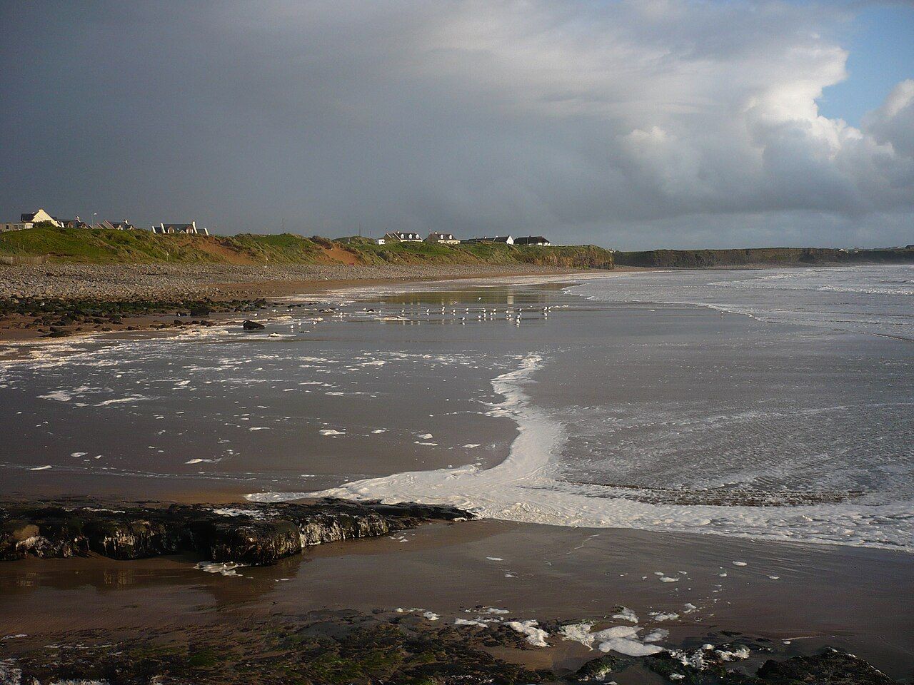
Gulls work the tideline, and in autumn you may see gannets passing offshore; the page on seabirds and sea life has more. In winter, big swell turns the reef into a mass of white water. Watch it from the grass, not from the rocks. Waves on this coast can run far further up the shore than the ones before them.
Down from Miltown Malbay
From Miltown Malbay it is about 3 km out to the coast, on a road that drops gently towards the sea. It is busy in summer with cars heading for the beach, so ride steadily and keep left.
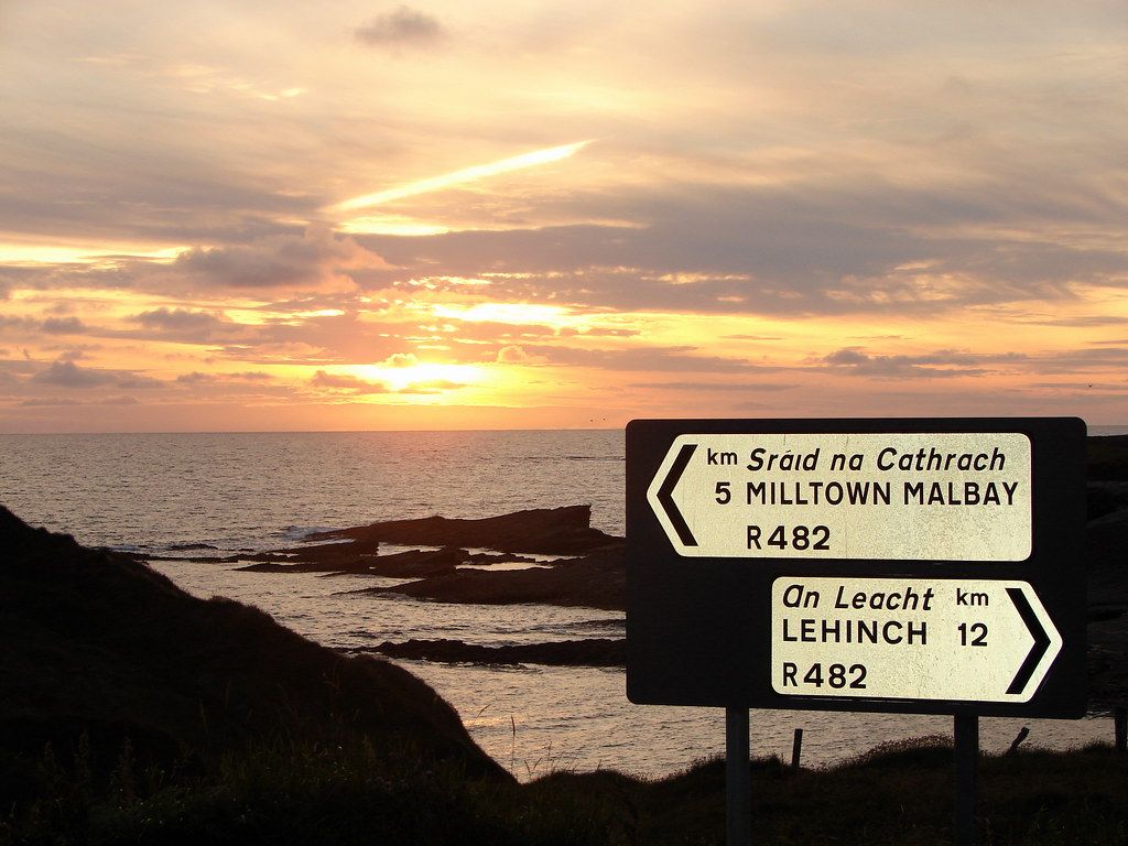
From here the coast road runs north towards Lahinch, and south through Quilty towards Doonbeg. Both are good rides, with the sea on one side for long stretches. The road north climbs and dips more than you might expect; the road south is flatter but more exposed.
Lock your bike where you can see it from the beach, and away from blowing sand. Sea air is hard on chains, so a wipe and a drop of oil at the end of the day is worth the minute it takes.
A gentle loop from Miltown Malbay out to Spanish Point, along the shore road and back into town is only about 8 km, which leaves plenty of time to walk the beach.
When to come
Summer brings the warmest days and the most people. Spring and early autumn are quieter, and the light on the bay in the evening is soft and long. Winter is for storm watching: wrap up, stay back from the edge, and keep an eye on the forecast before you ride out.
Pictures here: Gordon Hatton, cc-by-sa